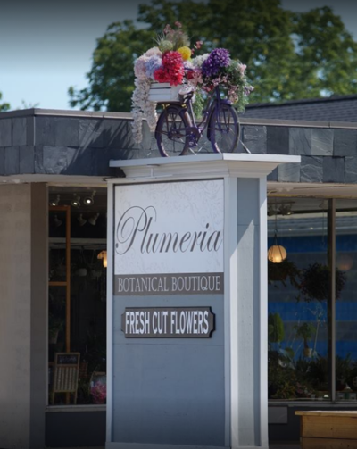
Urbandale Business District
Shop / Dine / Services
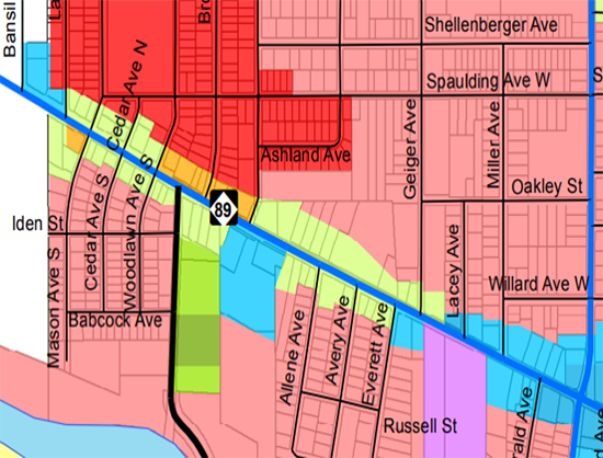
The Urbandale district is Neighborhood Commercial and Corridor Commercial. It is located adjacent to, or embedded with, existing residential neighborhoods. Neighborhood Commercial acts as a neighborhood shopping district, supporting nearby residents with day-to-day goods and services within a short walk or convenient drive of their homes. Compared to other district types, Neighborhood Commercial is the lowest in intensity and scale. View the business profile below for what is available in the Urbandale District.
Urbandale District Related Maps
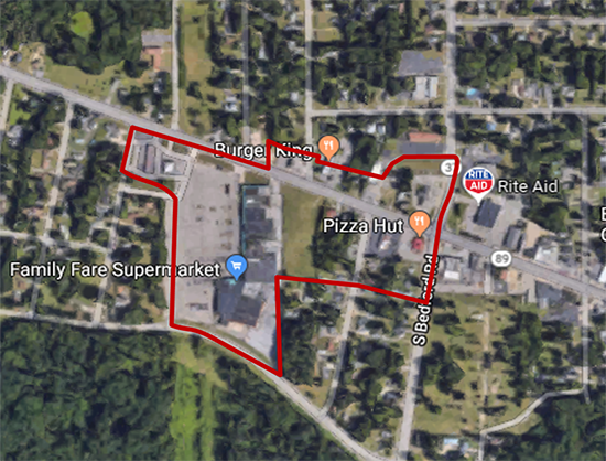
District Map- 9
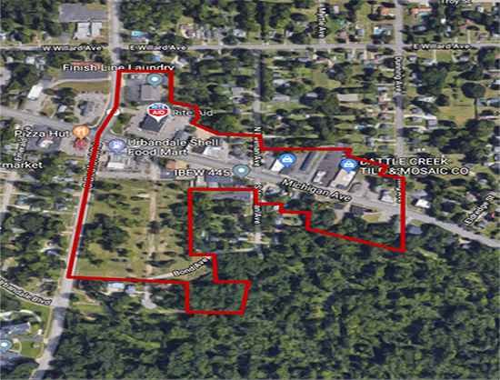
Future Land Use Map- 9
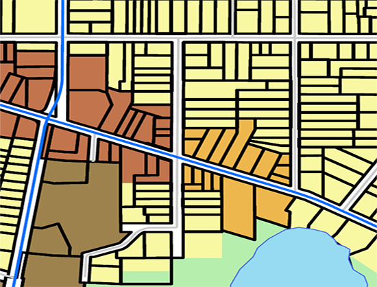
Zoning Map- 9
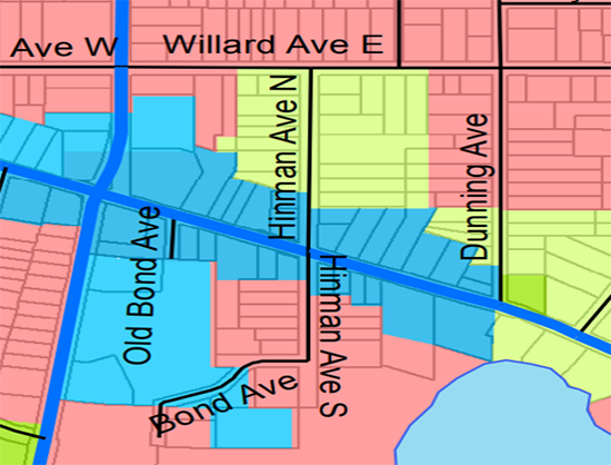
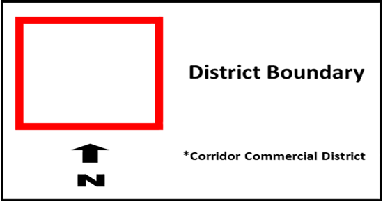
District Map Key
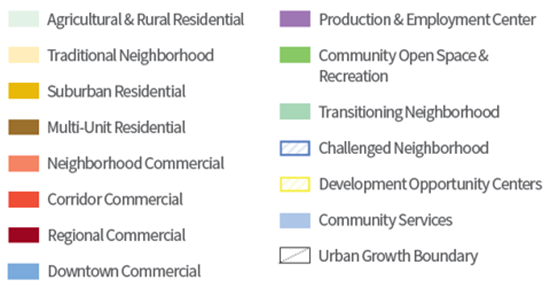
Future Land Use Map Key
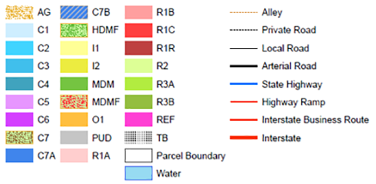
Zoning Map Key
District Map- 10a
Future Land Use Map- 10a
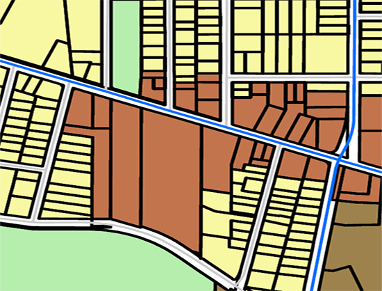
Zoning Map- 10a
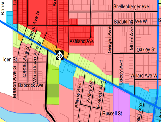
District Map Key
Future Land Use Map Key

Zoning Map Key

District Map- 10b
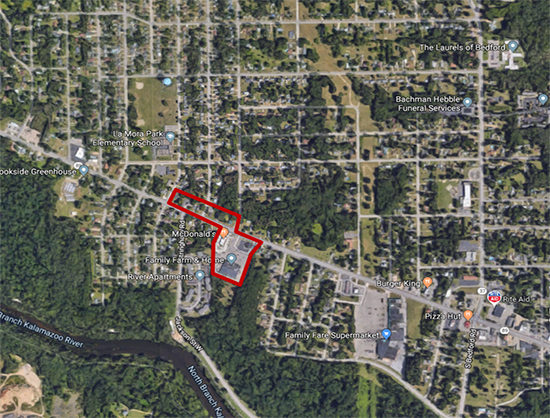
Future Land Use Map- 10b
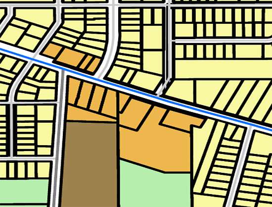
Zoning Map- 10b
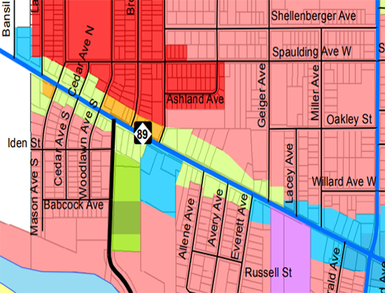
District Map Key

Future Land Use Map Key

Zoning Map Key

District Map- 10c
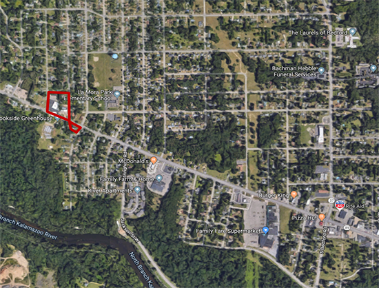
Future Land Use Map- 10c
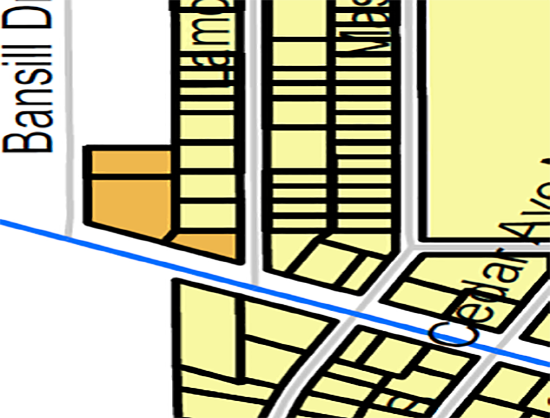
Zoning Map- 10c
District Map Key

Future Land Use Map Key

Zoning Map Key

